Broad Creek
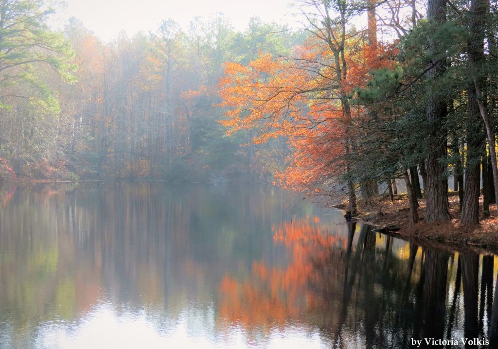
View of Trap Pond at Trap Pond State Park
Photo credit: Victoria Volkis
Photo credit: Victoria Volkis
Other watersheds in the Chesapeake Bay Basin
Square Miles (total): 122.7
Square Miles (DE): 119.6
Population (total)*: 18,256
Population (DE)*: 17,918
States: DE, MD
Counties: DE: Sussex MD: Worcester
Land use† in Broad Creek
Bohemia Creek • C & D Canal West • Chester River • Choptank River • Deep Creek • Elk Creek • Gravelly Branch • Gum Branch • Marshyhope Creek • Nanticoke River • Perch Creek • Pocomoke River • Sassafras River • Wicomico
Background
The Broad Creek watershed is located in southwestern Sussex County. The 20-mile long creek rises east of Delmar and flows toward the northwest through Trussum and Records Ponds to the Town of Laurel. The creek, which becomes tidal freshwater at this point, continues northwest to its confluence with the Nanticoke River southwest of Seaford.
The major land use in the watershed is agriculture, although residential uses are important at Laurel. The Broad Creek watershed has a high concentration of both poultry and swine operations.
The major land use in the watershed is agriculture, although residential uses are important at Laurel. The Broad Creek watershed has a high concentration of both poultry and swine operations.
Water Quality
According to the DNREC Total Maximum Daily Loads (TMDL) for the Broad Creek, nitrogen needs to be reduced by 30%, phosphorus needs to be reduced by 50%, and bacteria needs to be reduced by 3%.
EPA established a Total Maximum Daily Load for nitrogen, phosphorus, and sediment for the entire Chesapeake Bay Watershed. This TMDL requires reductions of approximately 24% for nitrogen and 20% for phosphorus between 2009 and 2025 from all of the Chesapeake watersheds within Delaware. Sediment loads from Delaware’s portion of the Chesapeake must remain at 2009 levels under this TMDL.
The waters of the Broad Creek are designated as having Exceptional Recreational or Ecological Significance (ERES), and therefore, receive a higher level of protection.
This watershed has sites sampled for a consistent suite of environmental contaminants. These contaminants are broadly classified as Volatile Organic Compounds (VOCs), Semi-Volatile Organic Compounds (SVOCs), Pesticides, Polychlorinated Biphenyls (PCBs) and Metals as listed using USEPA and DNREC defined standards. When sites are adjacent to water bodies sediment samples are collected to assess potential impact from a site on the health of the waters. Learn more information specific to this watershed from the DNREC Advanced Facility Search Tool.
Plants and Wildlife
Delaware’s Department of Natural Resources and Environmental Control (DNREC), Division of Fish and Wildlife conducts on-going inventories of natural communities as well as rare and declining species, (e.g., state and globally-rare plants, birds, insects, mussels, reptiles, and amphibians). It maintains a database, both electronic and manual, of its findings throughout the state. Learn more about the wildlife and plant communities in this watershed from the DNREC Division of Fish and Wildlife Conservation Programs.
In addition, the Division of Fish and Wildlife, working with the University of Delaware’s Institute for Public Administration – Water Resources Center, maintains online databases about plants and plant communities in Delaware. Learn more about the plant communities in this watershed from the DNREC Division of Fish and Wildlife.
In addition, the Division of Fish and Wildlife, working with the University of Delaware’s Institute for Public Administration – Water Resources Center, maintains online databases about plants and plant communities in Delaware. Learn more about the plant communities in this watershed from the DNREC Division of Fish and Wildlife.
Recreation and Culture
State-owned areas that provide access to water-based recreation include Horseys Pond, Records Pond, and Raccoon Pond.
Further Resources
For more detailed information on this watershed, its water quality and resources, check out the following resources:
Delaware TMDLs
Chesapeake Watershed Implementation Plan
Delaware Watershed Plans
Delaware Whole Basin Reports
Delaware TMDLs
Chesapeake Watershed Implementation Plan
Delaware Watershed Plans
Delaware Whole Basin Reports
Video
Broad Creek
Broad Creek quick stats
Square Miles (total): 122.7
Square Miles (DE): 119.6
Population (total)*: 18,256
Population (DE)*: 17,918
States: DE, MD
Counties: DE: Sussex MD: Worcester
*US Census Bureau, American Community Survey, 5-year estimates, 2019
Land use† in Broad Creek
†Land use source: U.S. Geological Survey (USGS), 2024, Annual NLCD Collection 1 Science Products (ver. 1.1, June 2025): U.S. Geological Survey data release, https://doi.org/10.5066/P94UXNTS.